


b-bark

b-barkの説明
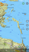
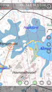
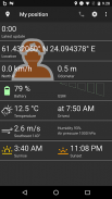
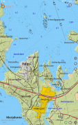
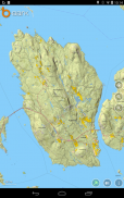
b-bark is an excellent mobile terrain and topographic map application for hunting, dog tracking, hiking, geocaching and other outdoor activities. You can go into the outdoors with confidence and enjoy your activities without worrying about the tools to help you navigate. Find your own ways to have fun in the outdoors with b-bark!
Supported maps:
- Worldwide street maps (OpenStreetMap)
- Finnish terrain map, aerial photo, and estate information
- Finnish nautical maps
- Swedish terrain map
- Norwegian terrain map
- Estonian terrain map and aerial photo
- Custom maps you can create yourself from photos or scanned images.
What you can do with the license free version?
- Use all maps for free
- Store POIs locally
- Store area markings locally
- Track yourself
- Use MPTP tracking
By purchasing the b-bark software license you will get the following additional features:
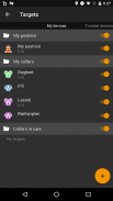
- Track other b-bark users
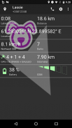
- Track b-bark collars
- Store POIs and area markings in cloud server
- Share POIs and area markings with other b-bark users
- Share your custom maps with other b-bark users
- Use the history view to see old tracks stored in the cloud server
- Use chat feature to communicate with other b-bark users
License and tracking device can be purchased from the b-bark web store or from the nearest retailer.
For more information see www.b-bark.com
Please send us your feedback or request: support@belectro.fi


